How Drones are Revolutionising the Inspection of Critical Infrastructure
- May 22, 2026
- Posted by: admin
- Category: Uncategorized
No Comments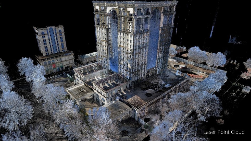
In the world of infrastructure management, maintaining the safety and efficiency of critical systems like power supply units, bridges, and communication towers is a top priority. Traditional inspection methods, often…
Preserving the Past with High-Precision Drone Technology and 3D Mapping
- May 20, 2026
- Posted by: admin
- Category: Uncategorized
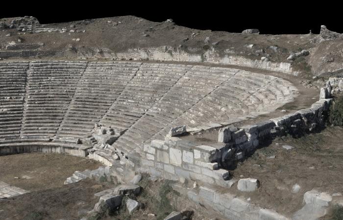
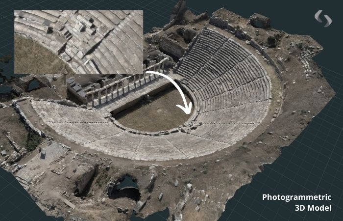
The preservation of historical sites, from ancient buildings and monuments to archaeological sites, is an important task that ensures future generations can appreciate and learn from them. However, documenting these…
Large-Scale Drone Mapping: Fast, Accurate and Cost-Effective Surveying for Expansive Areas
- May 11, 2026
- Posted by: admin
- Category: Uncategorized
Surveying large sites, whether for mining, agricultural, or construction purposes, requires both precision and efficiency. Traditional methods can be time-consuming, costly, and sometimes even hazardous, especially when working in remote…
How Cutting-Edge Digital Twin Technology Improves Outcomes in AEC Projects
- May 11, 2026
- Posted by: admin
- Category: Uncategorized
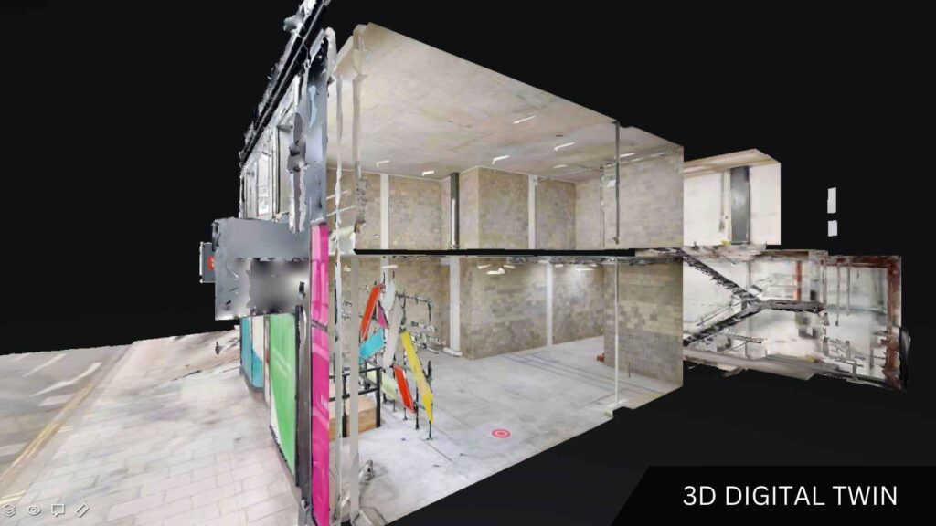
In Architecture, Engineering, and Construction (AEC), having highly accurate site information is essential to project success. Despite this, many teams still rely on conventional 2D plans and fragmented site notes,…
Common Scenarios Where Scan to CAD is Beneficial
- November 3, 2025
- Posted by: admin
- Category: Uncategorized
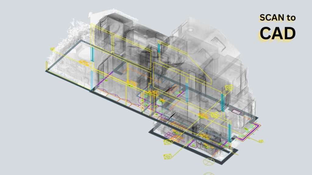
For a range of professionals, from contractors and developers to architects and project managers, scan to Computer Aided Design (CAD) services are invaluable. By turning real-world spaces into precise, editable…
London Office
- Symington House, Deverell Street, SE1 4AB, London
- [email protected]
- +44 (0) 20 3049 9455
- Çeliktepe Mah., İsmet İnönü Cad. No: 11 501 Kağıthane / İstanbul
- [email protected]
- +90 (0) 212 909 45 36